BRINGING THE BIBLE INTO LIFE BY SEEING WHERE IT TOOK PLACE
A pilgrimage is a long journey, especially one made by a person going to a holy place. A journey made to a sacred place, or a religious journey.
JORDAN IN THE BIBLE
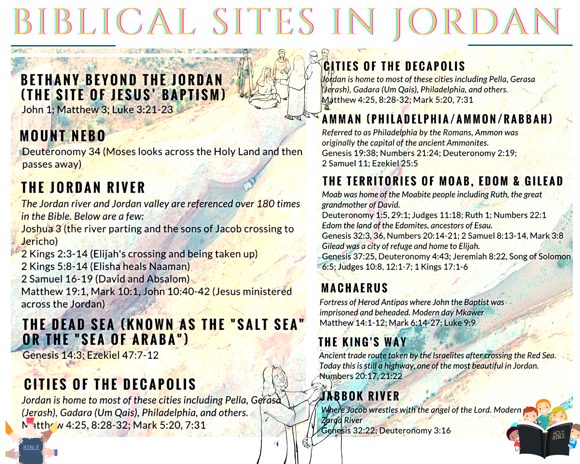
THE MOST HOLY SITES VISTED IN JORDAN:
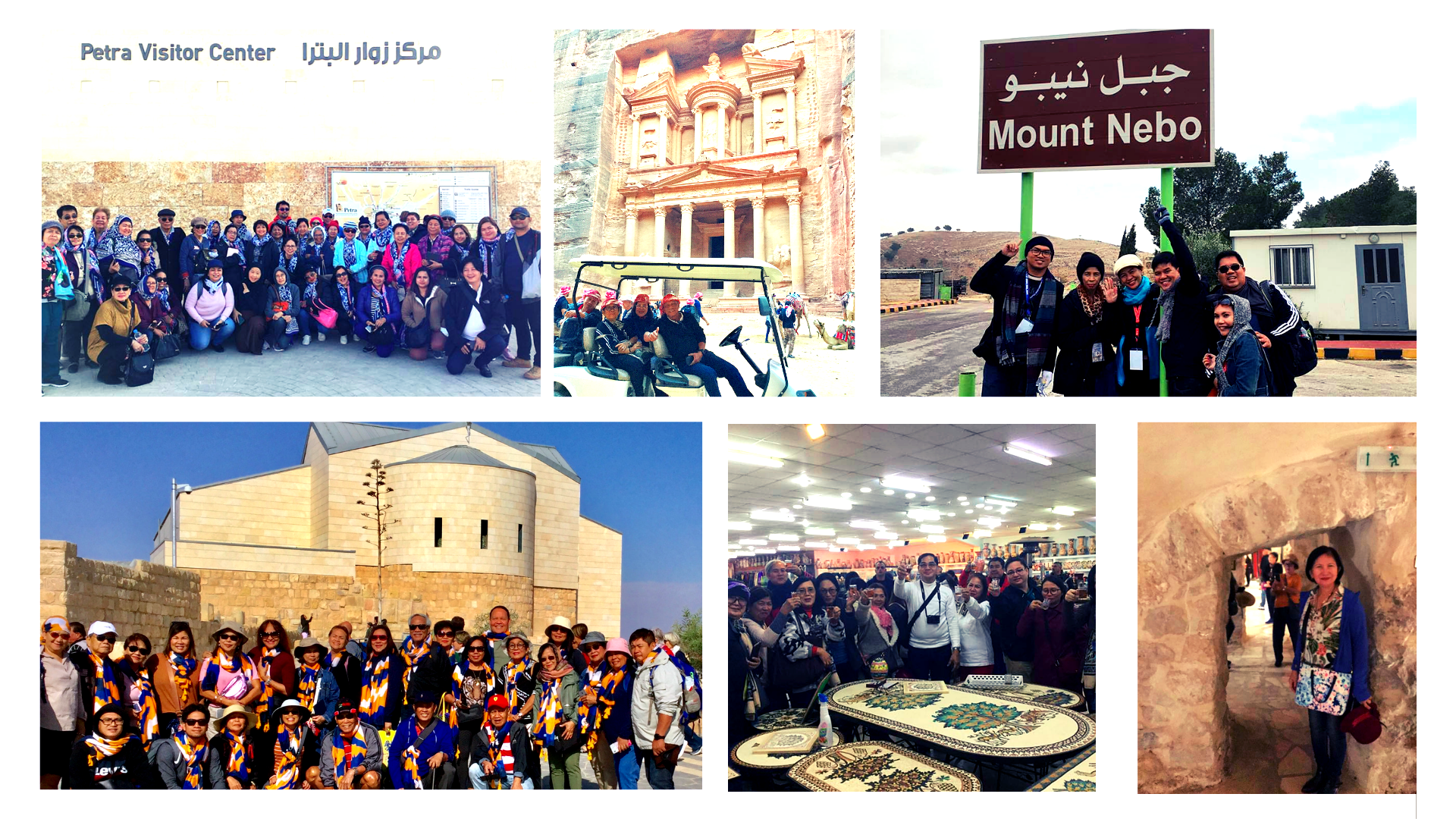
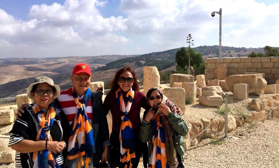
Mountain of NEBO
- According to the Bible (Deuteronomy), Moses ascended Mount Nebo, in the land of Moab (today in Jordan), and from there he saw the Land of Canaan (the Promised Land), which God had said he would not enter; Moses then died there.
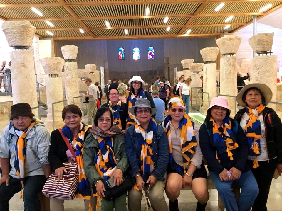
- A Christian church from Byzantine times stands on the top of Mount Nebo.
- The view from the summit provides a panorama of the West Bank across the Jordan River valley.
- According to Christian tradition, Moses was buried on the mountain, although his place of burial is not specified (Deuteronomy 34:6).
- Here, he completed the task of leading the Israelites across the desert from Egypt.
Where is Mount Nebo today?
- Today, this site is in the Hashemite Kingdom of Jordan.
What happened in the mountain of Nebo during Moses time
- Mount Nebo in the Bible is a high mountain in Moab where Moses viewed the Promised Land before his death. Rising more than 4,000 feet above the Dead Sea, Mount Nebo is situated on the east side of the Jordan River opposite the city of Jericho.
- During the final phase of Israel’s journey to the Promised Land, the Israelites camped in Moab near Mount Nebo.
- Before Moses died, God called him to climb to the top of Mount Nebo: “On that same day the LORD told Moses, ‘Go up into the Abarim Range to Mount Nebo in Moab, across from Jericho, and view Canaan, the land I am giving the Israelites as their own possession. There on the mountain that you have climbed you will die and be gathered to your people, just as your brother Aaron died on Mount Hor and was gathered to his people. You will see the land only from a distance; you will not enter the land I am giving to the people of Israel’” (Deuteronomy 32:48–52). This same account at Mount Nebo is first mentioned in the Bible in Numbers 27:12–14.

- God told Moses that he would die on Mount Nebo overlooking Canaan. Moses’ prayer to see the Promised Land would be answered, but he would not enter the land because of what happened when he struck the rock at Meribah Kadesh (Deuteronomy 3:23–28). Moses and his brother Aaron had failed God that day with their anger, pride, disobedience, and lack of trust.
- After seeing the Promised Land from this high vantage point, Moses died on Mount Nebo and was buried in the vicinity: “Then Moses climbed Mount Nebo from the plains of Moab to the top of Pisgah, across from Jericho. There the LORD showed him the whole land—from Gilead to Dan, all of Naphtali, the territory of Ephraim and Manasseh, all the land of Judah as far as the Mediterranean Sea, the Negev and the whole region from the Valley of Jericho, the City of Palms, as far as Zoar. Then the LORD said to him, ‘This is the land I promised on oath to Abraham, Isaac and Jacob when I said, “I will give it to your descendants.” I have let you see it with your eyes, but you will not cross over into it.’ And Moses the servant of the LORD died there in Moab, as the LORD had said. He buried him in Moab, in the valley opposite Beth Peor, but to this day no one knows where his grave is” (Deuteronomy 34:1–6). Mount Nebo is also the likely site of the conflict between Satan and the archangel Michael over the body of Moses (Jude 1:9).
- In extra biblical Jewish literature, the prophet Jeremiah is said to have hidden the ark of the covenant, the tent of meeting, and the altar of incense in a cave on Mount Nebo. According to 2 Maccabees 2:4–8, Jeremiah received a revelation to take the tabernacle and the ark to a cave on the mountain and seal the entrance. The cave would then remain undiscovered until God gathers all His people together.
- Mount Nebo, located today in in the Hashemite Kingdom of Jordan, still offers comprehensive views of the Dead Sea, the Jordan River, the West Bank, and, on clear days, even Jericho and Jerusalem.
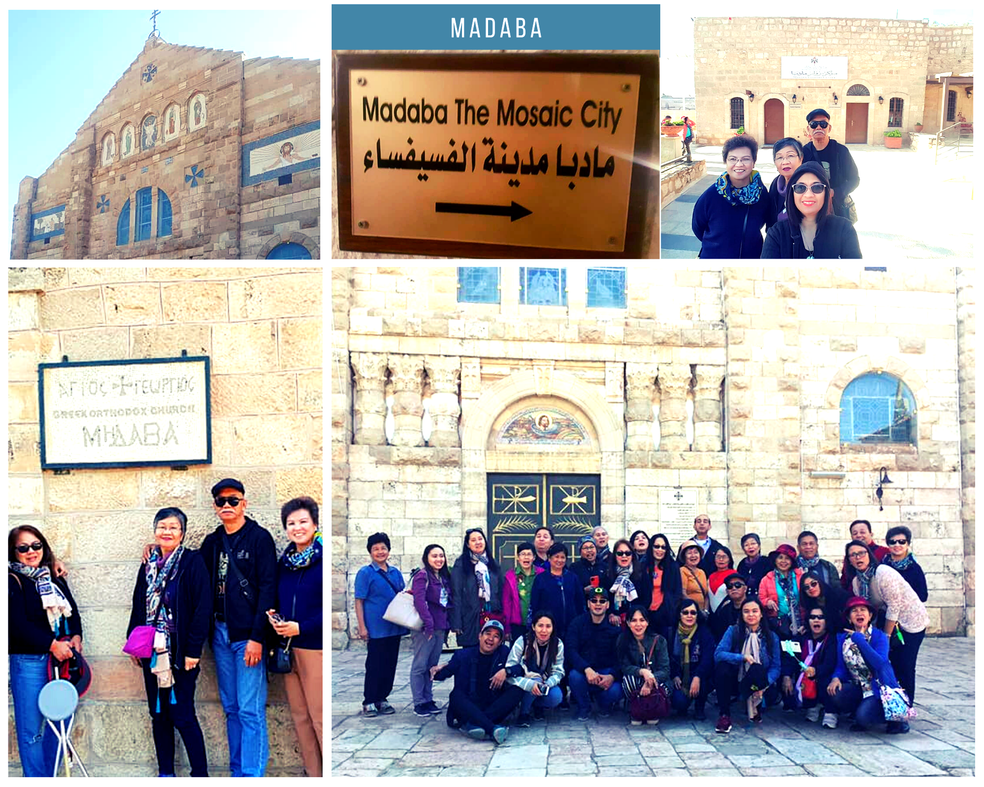
MADABA
- The town of Madaba was once a Moabite border city, mentioned in the Bible in Numbers 21:30 and Joshua 13:9.
- During its rule by the Roman and Byzantine empires from the 2nd to the 7th centuries, the city formed part of the Provincia Arabia set up by the Roman Emperor Trajan to replace the Nabataean kingdom of Petra.
- It is best known for its Byzantine and Umayyad mosaics, especially a large Byzantine-era mosaic map of the Holy Land.
What does the Madaba Map represent?
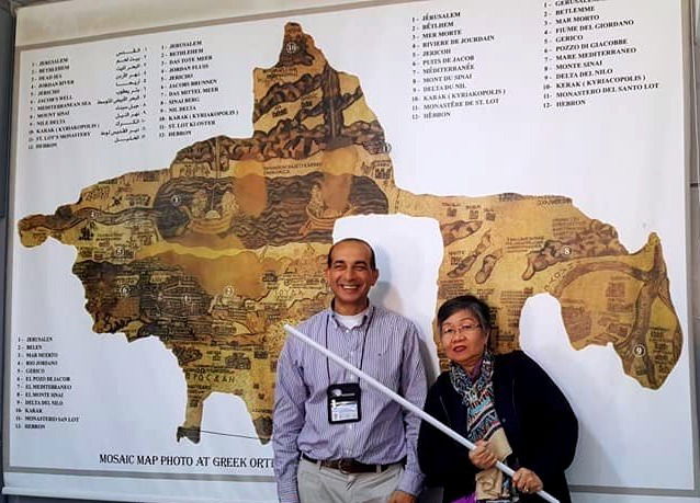
The Madaba Map, also known as the Madaba Mosaic Map, is part of a floor mosaic in the early Byzantine church of Saint George in Madaba, Jordan. The Madaba Map depicts part of the Middle East and contains the oldest surviving original cartographic depiction of the Holy Land and especially Jerusalem.
Below details source from https://www.bible.ca/archeology/bible-archeology-exodus-madaba-map.htm
- Historically, at the time of the Exodus and conquest, 1406 BC, Madaba and Mt. Nebo were part of the territory of Moab. Isa 15:2; Num 36:1; Deut 32:49.
- In 542 AD, the Madaba Map was finished. It is a large mosaic floor about 20 feet wide in Madaba, Jordan.
- The map is famous because it is one of the oldest maps of Bible lands in the world.
- The Madaba map, is was clearly based upon the "Onomasticon" written by Eusebius in 325 AD, even though it differs at times from it.
- In 1894 AD, the Madaba map was rediscovered and is currently under the protection of the Orthodox church, who rebuilt a church over the mosaic in modern times.
- The map is currently in St. George's Orthodox church. This is the church that celebrates the story of St. George slaying a dragon. This photo is of an 500 year old painting in the church of the event. Of course, this gives evidence of dinosaurs and humans co-existing.

One of the most important things the Madaba map shows is that the border of Egypt was at the Wadi al-Arish. This is the historic border between Egypt and Israel from 1446 BC, the time of the exodus , to 70 AD, when Israel was destroyed. In modern times the border has been moved 44 km north east to Raphia at the eastern edge of the Gaza Strip. You can see from the Madaba map that the border is between Bitylium and Rhinoculura (Arish).
Discovered in a remote Ottoman town in 1884, the Madaba Map is both a masterpiece of Byzantine design and a working map of Jerusalem and the sixth-century Middle East. A detail of the Madaba Map reveals how its makers imagined the world from above
When was the Madaba Map Discovered?
The Madaba mosaic is the oldest map of the Holy Land
https://www.nationalgeographic.com › history › article
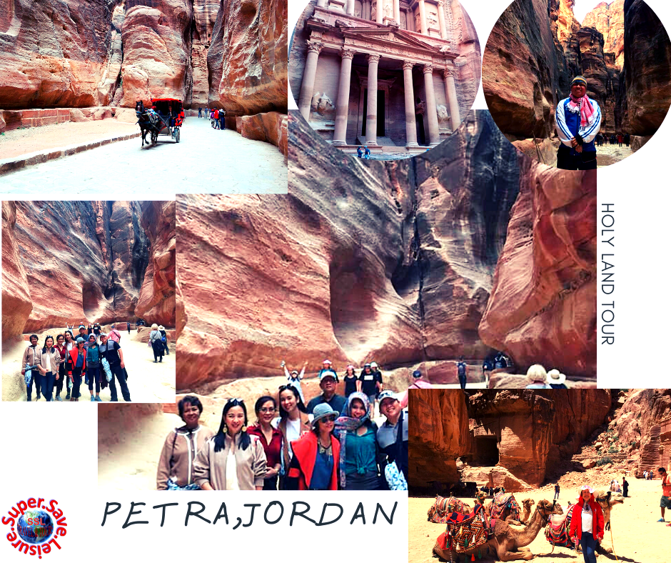
PETRA
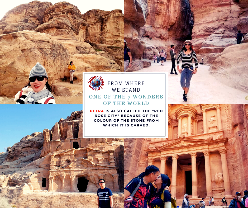
- Petra (Arabic: ٱلْبَتْرَاء, romanized: Al-Batrāʾ; Ancient Greek: Πέτρα, "Rock"), originally known to its inhabitants as Raqmu or Raqēmō[3][4] is an historic and archaeological city in southern Jordan.
- The biblical name of Petra is Sela, which was probably replaced by the Greek name Petra, meaning "rock."
- Petra is believed have been established in 312 BC, making it one of the oldest cities in the world.
- It was the capital city of Nabateans, who were ancient southern Arab people that arrived in Jordan around the 6th century BC.
- They were essentially the makers of one of the most extraordinary prehistoric civilizations
- The site is considered significant by historians and archeologists alike because of its beautiful rock-cut architecture and innovative water management system, the latter of which made the region inhabitable, given that it is surrounded by desert and rugged, mountainous terrain.
THE OLD ROSE CITY

Great things about PETRA
- UNESCO World Heritage Site
- The Famous Treasury
- It’s Home To More Than 1,000 Tombs
- It Honors to the sun
- Some Of The Descendants Of The Nabataeans Still Call It Home
- It’s Near A Famous Biblical Site
According to the Bible, Moses drew water from a stone in Wadi Musa, or the Valley of Moses. Petra’s water supply was derived from this location, which, according to Biblical tradition, continued to gush water after Moses’s miraculous act - It’s One Of The New 7 Wonders Of The World
- its beautiful rock-cut architecture and innovative water management system
- breathtaking moment that captures all of the grandeur and mystery of this city carved in stone.
